DaveMcK
Community Champion ⭐⭐⭐
January 26, 2021

HOW IS THE WEATHER IN YOUR AREA OF THE COUNTRY

  • January 26, 2021
  • 8 replies
  • 5184 views

SEVERE WEATHER ALERTS  Madison WISCONSIN

 Winter Weather Advisory. 

WINTER WEATHER ADVISORY REMAINS IN EFFECT UNTIL NOON CST TODAY. Snow expected. Blowing and drifting snow at times. Total snow accumulations of 5 to 7 inches. Winds gusting as high as 30 MPH.

 WHERE.  Portions of south central and southeast Wisconsin.

WHEN. Until noon CST today.

IMPACTS. Plan on slippery road conditions. Patchy blowing snow could significantly reduce visibility. The hazardous conditions will impact the morning commute.

PRECAUTIONARY. PREPAREDNESS ACTIONS.

Slow down and use caution while traveling.

The latest road conditions for the state you are calling from can be obtained by calling 5 1 1.
 

This topic has been closed for replies.

8 replies

LindaB671
Contributor ⭐⭐⭐
January 26, 2021

Winter storm alerts issued in UPSTATE NEW YORK for messy mix of ice and snow.

Contributor ⭐
January 26, 2021

Weather in Baton Rouge La is warm and humid.  Overcast with showers

st18688804
Conversationalist ⭐
January 26, 2021

The weather here in Chicago is snowy (lake effect to come) and cold. It is beautiful out, looks like it is still snowing (the very fine small stuff). Stay safe in Wis. and Upstate New York, as well as everywhere else.

Shari
DaveMcK
DaveMcKAuthor
Community Champion ⭐⭐⭐
January 29, 2021

We are looking at a repeat of last weekend with an additional 3 - 6" of snow from Saturday afternoon to Sunday afternoon! So not only will we be on lockdown in our apartment but we are looking at dangerous driving conditions on slick roads until the snow plows get out and start clearing the roads Sunday afternoon. I feel sorry for those that have to get their dogs outdoors.

Have a nice weekend. 

Posted by Dave the Lighthouse Keeper
st18688804
Conversationalist ⭐
February 1, 2021

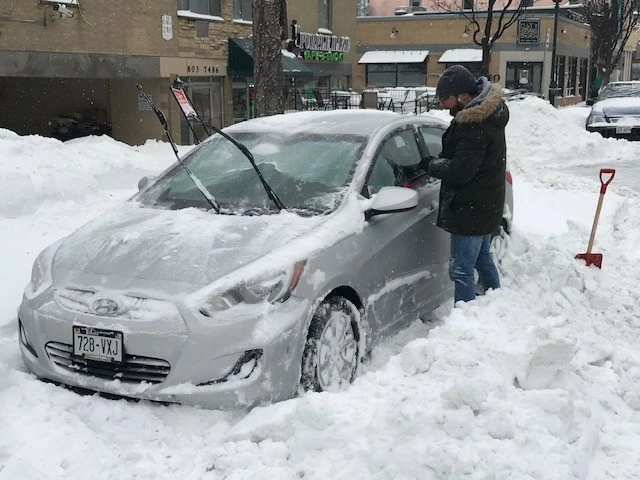
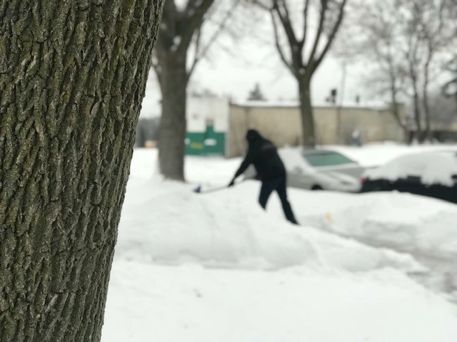
Well we got about 10 inches of snow over the weekend. It can leave now, I got my picture of it...LOL

Shari
st18688804
Conversationalist ⭐
February 1, 2021

Shari
DaveMcK
DaveMcKAuthor
Community Champion ⭐⭐⭐
February 3, 2021

Hazardous Weather Outlook

Hazardous Weather Outlook...UPDATED
National Weather Service Milwaukee/Sullivan WI
659 AM CST Wed Feb 3 2021

WIZ046-047-051-052-056>060-062>072-041300- following County's of
Marquette-Green Lake-Fond du Lac-Sheboygan-Sauk-Columbia-Dodge-
Washington-Ozaukee-Iowa-Dane-Jefferson-Waukesha-Milwaukee-
Lafayette-Green-Rock-Walworth-Racine-Kenosha-
659 AM CST Wed Feb 3 2021

This Hazardous Weather Outlook is for portions of east central
Wisconsin, south central Wisconsin and southeast Wisconsin.

.DAY ONE...Today and Tonight

Fog will be locally dense this morning, reducing the visibility to
one quarter mile in spots. The fog will lift later this morning.

.DAYS TWO THROUGH SEVEN...Thursday through Tuesday

Low pressure will bring the likelihood for more accumulating
snowfall on Thursday into Thursday evening which would affect the
afternoon and evening commute. A brief wintry mix is possible
Thursday morning.

Bitterly cold wind chills are possible over the weekend and into
early next week.

.SPOTTER INFORMATION STATEMENT...

Spotter activation will not be needed but your precipitation
reports will be appreciated on Thursday.


Posted by Dave the Lighthouse Keeper